Tuesday 9 October 2012
Camilla Baskcomb and Laura Mirebeau
Camilla Baskcomb, paper conservator, and Laura Mirebeau, paper conservation intern, are glad to open the doors of their conservation studio in order to present this project.
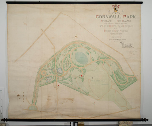
In early June, a large 1901 hand-drawn map of the proposed design for Cornwall Park came into our paper conservation lab, which was initially stored at the Auckland Museum by the Logan Campell Residual Estate. This map, composed of six sheets of wove paper lined on canvas, measures 260 x 303 cm, and is nailed along both the top and bottom edges on wooden battens, which allow it to be rolled and unrolled. You will easily guess that the unusual size of this document is quite problematic for its conservation.
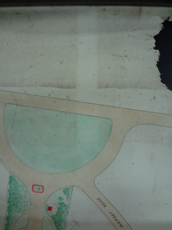
The map is painted with watercolour, and one can see the graphite preparatory drawing and squaring up by looking closely. It is particularly interesting and moving to realize that the original design differs from the park as we can enjoy it today, as one can see two lakes on the map that were never built.
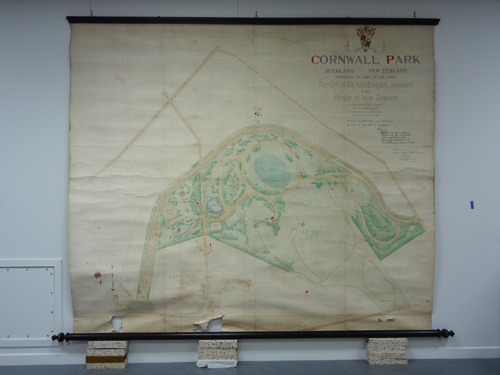
Before treatment
Condition
The map was kept in storage rolled up and thus suffered from severe distortions and horizontal undulations.
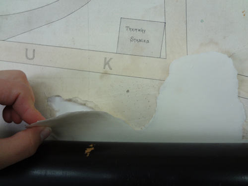
The bottom edge was particularly damaged along the batten, creating several areas of losses, caused by pests (one can see rodent teeth marks when looking closely) and by the storage conditions. Two creases were weakening the top edge of the map along the batten. The surface was embedded with dust and grime throughout, but mostly in the bottom part, and along the edges. The paper had darkened and discoloured over time, with brown foxing spots visible, water stains, splash marks, footmarks, dark brown stains (probably of a corrosive nature), and rust stains. These damages are mainly due to atmospheric pollutants, a previous water damage, and generally bad handling of the plan.
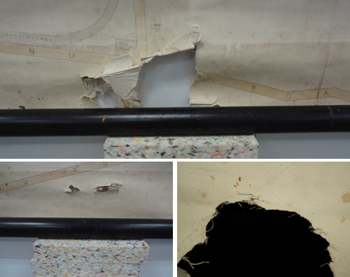
Before treatment close-ups of the areas of losses, ingrained dirt and teeth marks
Examination
Raking light examination showed us the extent of the distortions. Extensive photographic work has been undertaken by Gallery photographer John McIver.
We also discovered watermarks during the examination phase, along the left edge of each sheet of paper, which identified the papermaker. “James Whatman Turkey Mill Kent 1900” reads the watermark, giving us the manufacturer, the location and the date the paper was made. Whatman invented wove paper, soon very esteemed by architects, engineers, and surveyors who were looking for a uniform surface for their detailed drawings.1
After measuring each sheet, we came to the conclusion that it was actually Antiquarian wove paper, the largest hand-made paper ever made in Europe, which “became famous for its use in the production of maps, prints and watercolours”2. That paper was almost universally used by 1873, according to that same book, and could take up to a year to properly dry before being sold. As the map had been drawn in 1901 in New Zealand, and considering the length of the shipping trip, it is highly likely that that batch of paper was still in its drying process on the boat to NZ.
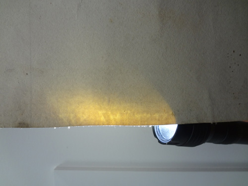
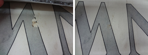
Raking light photograph of the watermark
Treatment
Considering the size and the nature of the map (media and construction), it was decided that we would not carry out any aqueous treatment to de-acidify the paper or reduce the foxing spots and other stains.
Because of the width of the map, we put two benches end to end so we could roll and unroll the map as we progressed with the treatments.
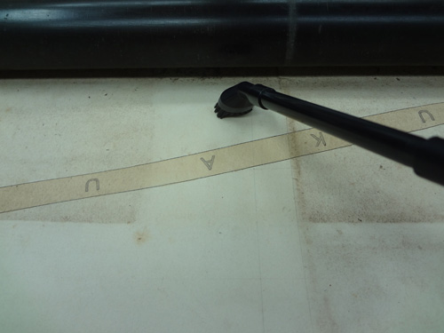
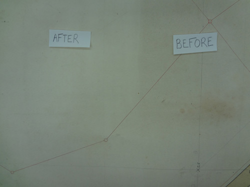
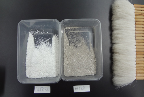
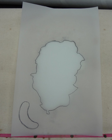
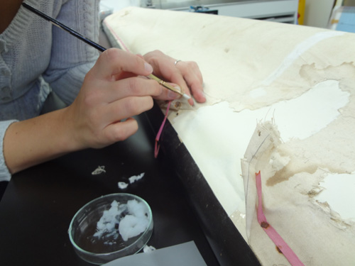
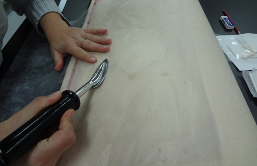
Dust and superficial grime have been removed very efficiently. The crumpled tears have been flattened in order to be able to mend it. All the tears and loss areas have been repaired and consolidated using an antique Whatman paper, and a calico lining (cotton textile) on the back. These areas have then been retouched with watercolour in an archival manner.
Dusting with a conservation vacuum cleaner
